Activities in Egypt Nature Exploration

Things to Do

Burullus Lake Egypt

Burullus Lake Alexandria

  • Burullus Lake Egypt
  • Burullus Lake Egypt
  • Burullus Lake Egypt
  • Burullus Lake EgyptBurullus Lake Egypt
  • Burullus Lake Egypt
  • Burullus Lake Egypt

Burullus Lake Alexandria Egypt tours, booking, prices, reviews

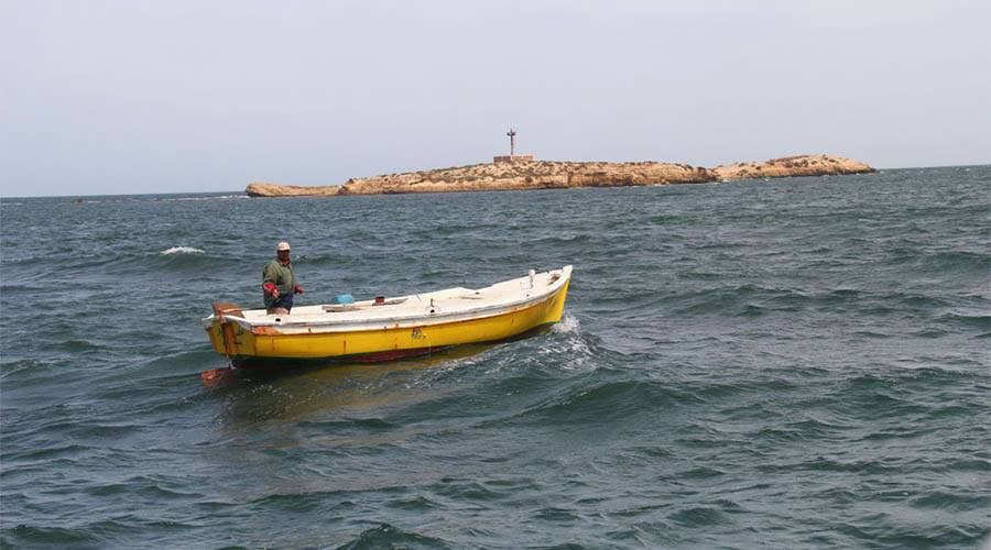
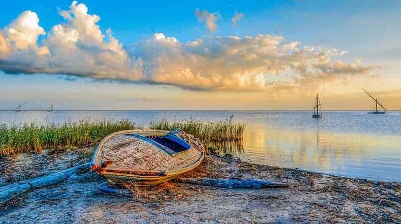
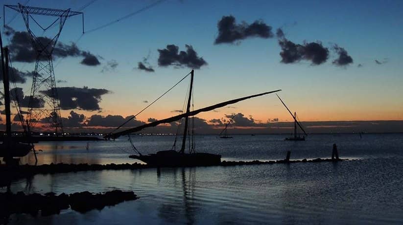
Burullus Lake Alexandria located along the Mediterranean coast. The lake occupies a more or less, central position between the two branches of the Nile. Moreover, it extends between 31o 22′ – 31 o 26′ N and 30 o 33′ – 31 o 07′ E. It is a shallow brackish lake, connected with the sea by a small outlet (Boughaz). It is about 50 m wide near El Burg village. The length of the lake is about 65 km. The width varied between 6 and 16 km, with an average of about 11 km. The depth of the lake ranges between 0.42 and 2.07 m. The eastern sector of the lake is the shallowest, showing an average depth of 0.8 m. The present area of the lake is 420 km² (100000 acre) of which 370 km² is open water.

Former estimates of the area are 588 km² (140000 acre) in 1913. Moreover, it was 574 km² (136620 acre) in 1956 and 462 km² (110000 acre) in 1974. It seems that during the last 6 years there has been a reduction in the lake area by 30%. This decrease is due to continuous land reclamation projects along the southern and eastern shores of the lake. The southern part of Burullus Lake Alexandria receives freshwater supply from 6 drains and one brackish water canal. The saline water enters the lake from the sea through El Boughaz, at the northeastern part. The quality and quantity of in-flowing waters to the lake determine the distribution of the biota of the lake.

Further details about Burullus Lake Alexandria Egypt:

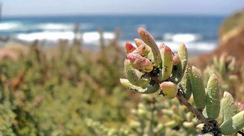
Burullus Lake is very different from what it was several decades ago before the construction of the Aswan High Dam. When it used to be subjected to the periodical Nile floods in late summer and autumn. The lake separated from the sea by a strip of land. It covered with sand bears and dunes of varying widths and heights. The bottom of the lake is sandy with silty material in the Boughaz area. Elsewhere there are clay and mud deposits. At drain mouths there is predominantly black mud. There are approximately 50 uninhabited islets in the lake. The shores of the lake covered with dense vegetation of mainly Phragmits australis and Juncus sp.

The lake – sea connection sometimes closed in the spring. This is due to the movement and accumulation of beach sands. It caused by the coastal circulation of sea water in the region of El Boughaz. Water temperature varies from 11o C in February to 29.5o C in August. The Burullus region has the characteristic climate of lower Egypt. The major nutrient sources for Burullus Lake Alexandria comes through the drain and the recycling of organic materials. Nutrient concentration is relatively high in the south western part. It is where more than 75% of the total amount of drain water enters into the lake.

Phytoplankton:

Phytoplankton community in Burullus Lake Alexandria is relatively low and tends to increase from east to west. The average annual value of total Phytoplankton in the lake amount to 1039000 unit/l with a peak in May. They dominated by Bacillariophyta, which represented by 59 species in 10 families. Then Chlorophyta which represented by 36 species belonging to 12 families, while Cyanophyta represented by 7 species only. Aquatic vegetation in the lake characterized by a small number of abundant species. The main species are Common Reed (Phargmites australis), Reed maco (Typha domigensis) and Water hyacinth (Eichhonia crassipes). They also include Duckweed (Lemna sp.), Pond weed (Potamogeton pectinatus) and Horn wort (Ceratophyllum demersum). The Aquatic vegetation of Burullus Lake seems to be increasing almost everywhere. This caused by the increasing in nutrients and fresh water discharge into the lake.

Zooplankton:

The zooplankton population recorded in Burullus Lake comprises about 115 species included in 60 genera. These are mostly confined to 3 main groups. In fact, they are Copedopa, Rotifara and Cladocera. They constitute collectively about 92.2% by number of the total zooplankton. Generally, the highest zooplankton abundance is recorded from the western sector. The annual average number reached 100972 organisms/m3.

Benthic Fauna:

The benthic fauna shows a low number of species, as is typical of this type of environment. Eleven species, recorded, including molluscs, crustaceans, annelids and insects. The most numerous group is that of mollusks followed by crustaceans.

Fish:

The occurrence of brackish water results in a large number of fish species inhabiting Burullus Lake. In fact, 32 species of fish found in the lake. Several, puse marine fishes, i.e. Sparus aurata and Solea solea invade the lake for some periods of time. They usually found in areas of high salinity. In areas where the water is brackish, more species found.

Waterbirds:

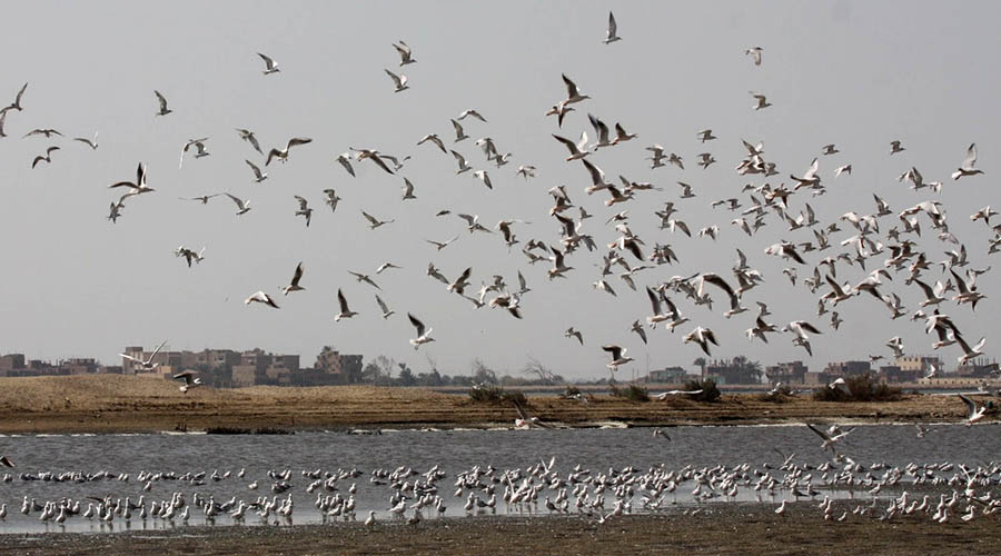
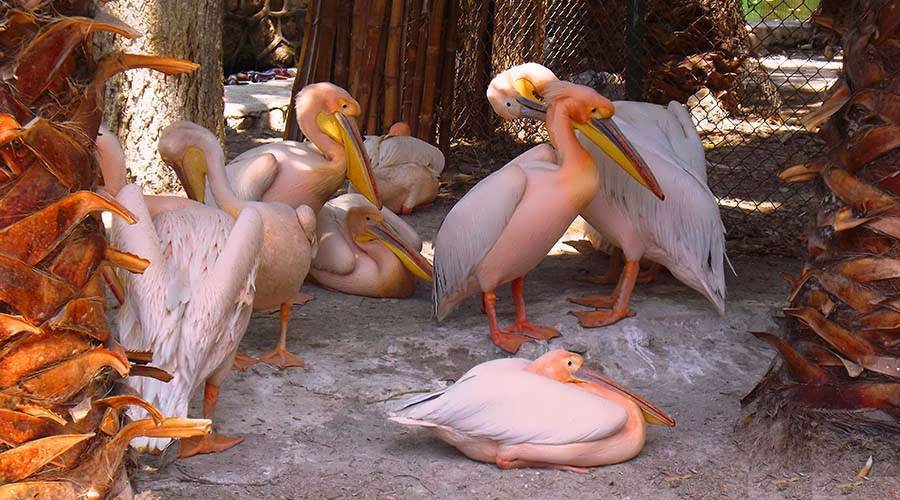
Burullus Lake Alexandria  indeed is as a wintering area of international importance for waterbirds. In fact, the lake is one of the most important wintering areas. It is for the Whiskered Tern breeding in Europe and Western Asia. It contains the highest concentration of this species in the world. The total number of waterbirds wintering in the lake and adjacent marshes may well exceed half a million. Land reclamation along the southern and south-eastern periphery of the lake is the main threat. The continuous land reclamation projects have an irreversible impact on the ecosystem of the lake. This is because of its great international importance. The wintering area for the Palearctic waterbirds strongly suggested to stop further land reclamation. Furthermore, it made the lake and adjacent marshes a wildlife reserve.

Temperature:

Burullus Lake located in the warm temperature zone. The average monthly air temperature usually attains its minimum value of 13.3oC during winter (January). It increases gradually throughout the spring. It reaches its average maximum values of 26.6oC in the summer (July). This is followed by a gradual decrease in the autumn. The air temperature also subjected to diurnal variations.

Wind Action:

The dominant wind in the Burullus Lake area blows mostly from the western direction. It sometimes changes its direction to north or north-western. Besides less frequently to northeastern directions. In fact, it may also blow from the south-western during winter. The prevailing wind speed averages between 1 and 16 knots. Wind speed more than 16 knots is less frequent. While wind speed more than 27 knots is very rare and confined mostly to winter months. There is direct effect of the increased wind speed on the general hydography of the lake. In fact, it manifested by the introduction of the sea.

The water into the lake through the Boughaz channel, the size of which depends on the wind velocity and duration. According to the shallowness of the lake, the increased wind velocity causes also a turbulence of water. Also, the wind movements play an important role in the distribution of salinity in the lake. When it is easterly winds, the drain’s freshwater covers most of the lake. Moreover, it decreases the salinity to a large extent. The northerly winds drive water southerly and the salinity increases even next to drains.

Rain Fall:

In fact, the north Mediterranean Sea coast of Egypt is as the rainiest part of the country. Such rain represents additional source of fresh water to the lake. And which amounts to an average of about 100 million m3 per year as computed from meteorological data. The rainfall in Burullus Lake area mostly confined to late autumn and winter (December-February). And while the other months are often dry. The average annual rain fall is about 200 mm per year. This value varies from one year to another and. It usually fluctuates between 150 and 300 mm per year (Aboul-Ezz, 1984).

In fact, all of Burullus Lake Alexandria declared a protected area under law 102/1983, in May 1983. It was with the lake and the sandbar which included within the boundaries of the reserve. The present value of the lake as a breeding area for waterbirds is high. Both in respect of an Egyptian standard and on an international scale. The lake is the least disturbed wetland in the Nile Delta. In fact, it is the second largest lake in Egypt. The lake makes this area relatively important compared to other wetland areas in the Nile Delta.

Further details about Burullus Lake Alexandria Egypt:

The salt marshes around the lake are of major importance for two subspecies endemic to Egypt. There are virtually no data on the function of the lake. In fact, the lake is a wintering area of international importance for wintering waterbirds. It is where significant numbers of Wigeon, Shoveler, Ferrugineous Duck, Coot and Whiskered Tern recorded. The world’s second largest known concentration of Ferrugineous Duck is from Burullus Lake (Meininger & Atta, 1994). The species is decreasing and the total world population may be less than 25000 birds (Monval & Pirot, 1989). The wintering number of Whiskered Tern in the Delta Lakes is the largest which known in the world.

The importance of the Nile Delta lakes may be substantially larger in winter with cold spells around the Black Sea. There are 17 bird species listed in Egypt as endemic species. They are Streptopelia senegalensis (Palm Dove), Centropus senegalensis aegyptius (Senegal Coucal) and Merops orientalis cleopatra (Little Green Bee-eater). In fact, there are 11 globally which threatened bird species occurring in Egypt.

More details about Burullus Lake Alexandria Egypt:

Wall paintings on the old Egyptian Temples prove that wild birds played some economic roles in the ancestors life. They utilized them for several reasons such as food, decoration, medicine, education, sport and religion. At our present time wild birds still utilized. Several bird species trapped and shot all over the Egyptian wetlands and deserts. It is mainly for food and sport. They effect of these activities on the population of the victim species. Moreover, they also affect on the economy attempted by a few researchers. (Mullie and Meiniger, 1981 and 1983; Goodman and Meininger, 1989; Baha El Din and Salama, 1991; and Baha El Din, 1992).

Waterfowl hunting is an old activity in Egypt that goes back to the dynastic time. At present waterfowl still hunted all over the Egyptian wetlands especially on Burullus Lake Alexandria. Two types of waterfowl hunting known such as commercial hunting and hunting sport. Both practiced mainly during the winter season when there are an abundant number of wintering birds. The commercial hunting occurs by trapping and shooting waterfowl by the local people. The local people who live around the lake who are mostly fishermen. The catch sold alive or dead to middlemen in popular markets.

Further details about Burullus Lake Alexandria Egypt:

In fact, hunting sport is a non commercial hunting occurs mainly for pleasure and. The hunted birds not offered for sale, but consumed by the hunter’s families and friends. This type of hunting well organized by two shooting clubs based in Cairo and Alexandria. Cairo Shooting Club hires a number of lakes from the governorates of Sharkia and Ismaelia. It maintains them to use in the winter season as hunting reserves. Duck shooting at these reserves allowed only on 16 days per year. They are one day every week and the lasting from early December to Mid March. The economic value of hunting by the shooting club related to the fees of hiring the lakes. However this economic value cannot considered of significant value to the regional economy.

Nearby attractions Information, tours and Online Booking

More of Egypt Nature Exploration

More of Egypt attractions

MORE
Cairo Nature Exploration

Cairo Nature Exploration

  • Cairo Nature Exploration
  • Cairo Nature Exploration
  • Cairo Nature Exploration
  • Cairo Nature Exploration
  • Cairo Nature Exploration
  • Cairo Nature Exploration
  • Cairo Nature Exploration

Cairo Nature Exploration tours, booking, prices, reviews

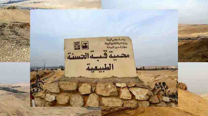
Cairo Nature Exploration represented by El Hassana Dome National Park. In fact, it indeed is a unique geological formation in Giza, Egypt. Moreover, it created 100 million years ago. It designated a natural protectorate in 1989. Furthermore, it was by Prime Ministerial Decree 946/1989. It currently threatened by encroaching urbanization and construction works. El Hassana Dome National Park located in the area of Abu Rawash which is 8 Kilometer from Giza Pyramids. It features geological importance and richness in fossils. It first discovered in the mid nineteenth century.

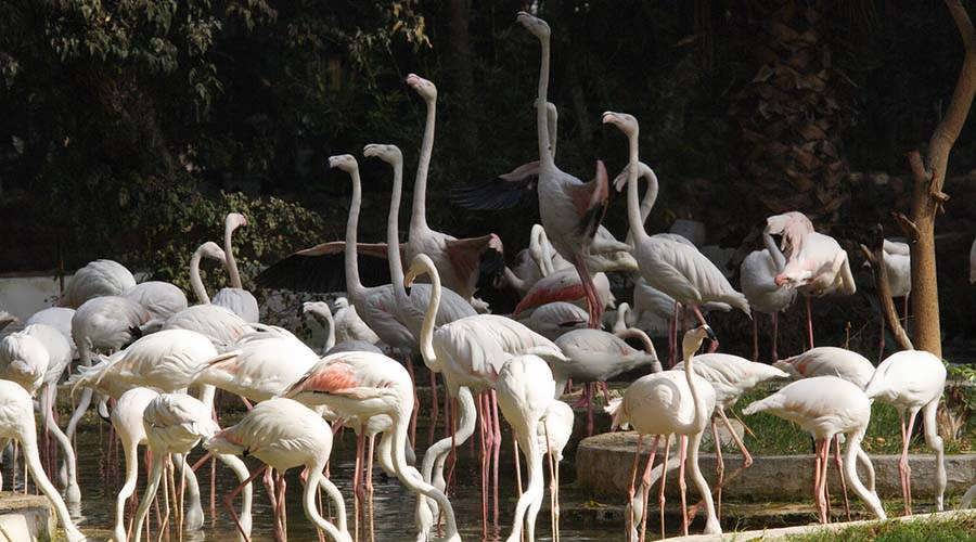
Cairo Nature Exploration also represented by Giza Zoo. The zoo indeed is one of the most beautiful zoos in the world. Moreover, it is the most inhabited by the various animal and plant species. In fact, Giza Zoo area is about 80 acres. Furthermore, it located near the west bank of the Nile. Its northern tip overlooks Cairo University. In fact, Giza Zoo not far from Cairo Downtown and it linked to it by many buses. Giza Zoo is under the supervision of the Ministry of Agriculture in Egypt. Khedive Ismail was the ruler of Egypt from 1863-1879. He supposed to open Giza Zoo on the occasion of the inauguration of Suez Canal. It was in 1869. He could not do so because the lack of time. On March 1891, Giza Zoo opened for the public. It distinguished for its rare imported plants and walks.

Further details about Cairo Nature Exploration Egypt:

Giza Zoo also distinguished for its streams, lakes and bridges. Moreover, it also does for hilly habitats for the various animals that it houses. These hilly areas planted with cactus trees and the rare cactus fruit. Egypt’s moderate climate helped to preserve the lives of animals from different regions. There is no need to use air conditioning for cooling or warming. Giza Zoo considered a huge exhibition of African wild life. It is a habitat for many species of animals and birds which are now extinct in Egypt. They restored to their original environments from which they were extinct. Among these are mountain goats, rams, Egyptian gazelles and heron.

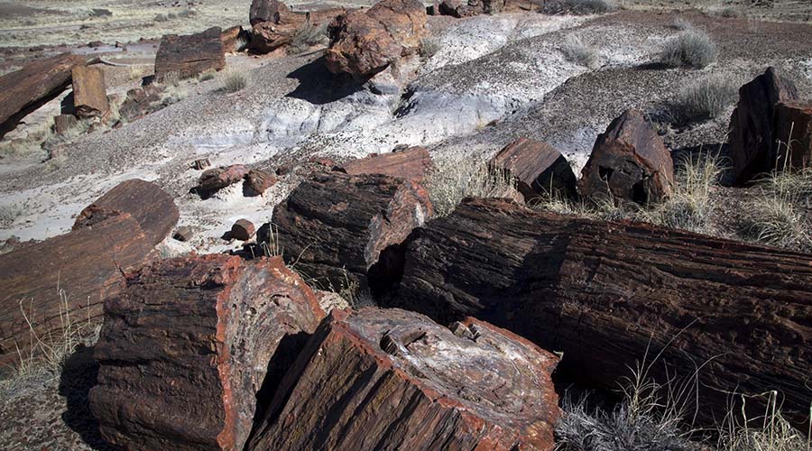
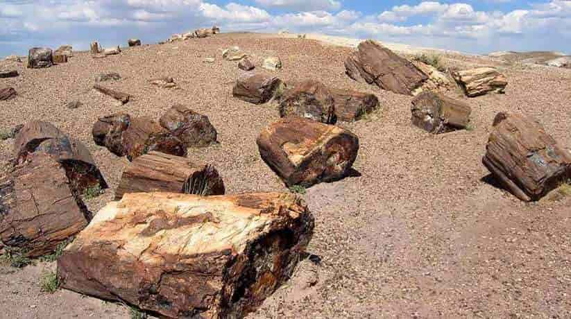
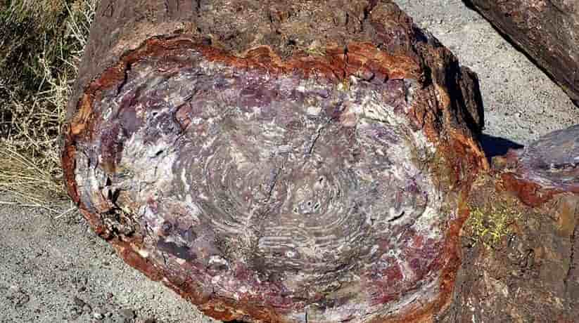
Cairo Nature Exploration also represented by Maadi Petrified forest. The forest is 30 kilometer away from Cairo. In fact, it situated outside Maadi district in Cairo, Egypt. It declared as a protectorate in 1989. Maadi Petrified forest is about 35 million years old at least. Moreover, it is an ideal example of the physical history of the planet. Maadi Petrified forest area is about six square kilometers. It covered with the remains of trees from the early era. They brought here due to the floods on the red Sea hills. This period called Oligocene. It is where the temperature of earth saw a large amount of drop and floods occurred. Furthermore, the drop in temperature led to the creation of an atmosphere. This atmosphere supported the coming of many new species like elephants and horses.

More details:

In fact, Maadi Petrified forest located 18 kilometer from Maadi city in Cairo. It is on the North Katameya Ain Sukhna road. It features a large variety of stones, sands, petrified trees and trunks. Maadi Petrified forest can help in knowing about the geological period of earth. It is a small geological protectorate in comparison to others in Egypt. It also classified as a natural heritage site. Cairo Nature Exploration also represented by Wadi Degla. The valley is one of the important valleys which extend from east to west. It located in Maadi area in Cairo, Egypt. Wadi Degla or Degla Valley length is 30 km. It passes through the limestone rocks that remained in the marine environment. It was during the Eocene Epoch in the eastern desert ( 60 million years ). Thus, it is rich with fossils.

The height of these rocks alongside the valley is around 50 m. A group of valleys flew into Wadi Degla. The valley has a group of mammals animals like dear, ta-ital and mountain rabbits. It also has red fox, feather tailed rat, oviparous, barbed rat, little tailed bat and others. When you visit the Wadi Degla, you will see the construction debris and huge cement blocks. They dumped at the entrance to the Wadi. A couple of hundred meters there is what was once the mouth of the river. Beyond it, flies buzzed about heaps of what appeared to be cattle and poultry offal. Soon, swarms of flies and mosquitoes would have invaded the area. Two kilometers into the Wadi, its rugged natural beauty had become clear.

Cairo Nature Exploration Highlights:

Maadi Petrified Forest Cairo
+View details
Egypt Nile cruises and hotels
Wadi Degla Cairo Egypt
+View details
Egypt Nile cruises and hotels

MORE
Giza Zoo Cairo Egypt

Giza Zoo Cairo Egypt

  • Giza Zoo Cairo Egypt
  • Giza Zoo Cairo Egypt
  • Giza Zoo Cairo Egypt
  • Giza Zoo Cairo Egypt
  • Giza Zoo Cairo Egypt
  • Giza Zoo Cairo Egypt

Giza Zoo Cairo Egypt tours, prices, booking, reviews

Giza Zoo Cairo Egypt indeed is one of the most beautiful zoos in the world. In fact, it is the most inhabited by the various animal and plant species. Moreover, Giza Zoo Cairo area is about 80 acres. The zoo located near the west bank of the Nile. Its northern tip overlooks Cairo University. The zoo not far from Cairo Downtown and it linked to it by many buses. In fact, it is under the supervision of the Ministry of Agriculture in Egypt. Khedive Ismail was the ruler of Egypt from 1863-1879. He supposed to open Giza Zoo on the occasion of the inauguration of Suez Canal. It was in 1869. He could not do so because the lack of time. On March 1891, the zoo opened for the public.

Giza Zoo Cairo Egypt distinguished for its rare imported plants and walks. They paved with colored pebbles. Moreover, they set in beautiful mosaic pictures. Giza Zoo also distinguished for its streams, lakes and bridges. It also does for hilly habitats for the various animals that it houses. These hilly areas planted with cactus trees and the rare cactus fruit. Egypt’s moderate climate helped to preserve the lives of animals from different regions. There is no need to use air conditioning for cooling or warming. Giza Zoo Cairo is indeed a huge exhibition of African wild life. It is a habitat for many species of animals and birds which are now extinct in Egypt. They restored to their original environments from which they were extinct. Among these are mountain goats, rams, Egyptian gazelles and heron.

Further details about Giza Zoo Cairo Egypt:

Giza Zoo Cairo comprised of five hilly areas. The greatest called the Citadel Hill which constructed in 1867. Moreover, it decorated with various statues of the extinct Fayoum rhinoceros, crocodiles and strange Birds. Its plateau covered with a small park that could reached by means of a spiral path. The zoo comprises plant covered walks. It has many of streams. There is a hall in its center as a resting place. It also has various statues of Birds and reptiles. They made of cement and pebbles. The streams flow through caves with white coral reefs. They hanging down, into waterfalls that lead to a lake with two islands. They connected with a wooden bridge.

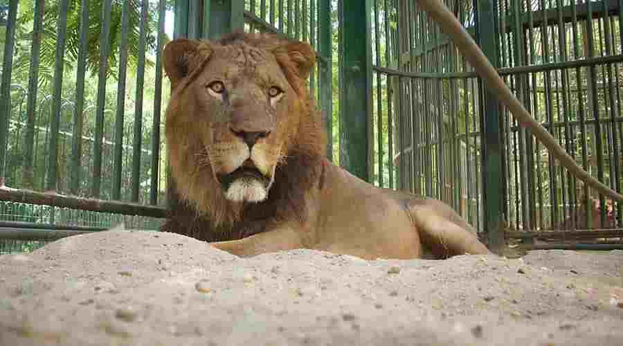
In front of the lions’ house at Giza Zoo Cairo Egypt, there are two artificial hills. They connected with a rare iron suspended bridge. In fact, it is the only one in Egypt. Besides to many animals in the garden, there is a museum which built in 1906. In fact, it consists of three big halls. The halls exhibit large groups of Egyptian and foreign embalmed Birds. They also exhibit reptiles, fish and animals as well as skeletons.

More details about The Zoo Cairo Egypt:

There are also two other halls exhibiting various kinds of animals, reptiles, and Birds. An embalming factory located behind the museum for such purposes. Giza Zoo Cairo is also an institute where scientists study the behavior of animals and Birds. There are five non governmental organizations. They carry out campaigns to encourage people to preserve wild life. They also promote environment awareness in Egypt.

Nearby attractions Information, tours and Online Booking

More of Egypt Fun & Leisure

More of Egypt attractions

MORE
Fayoum Bird Watching

Fayoum Bird Watching Egypt

  • Fayoum Bird Watching Egypt
  • Fayoum Bird Watching Egypt
  • Fayoum Bird Watching Egypt
  • Fayoum Bird Watching Egypt
  • Fayoum Bird Watching Egypt
  • Fayoum Bird Watching Egypt

Fayoum Bird Watching tours, booking, prices, reviews

Fayoum Bird Watching is one the famous activities in Egypt. In fact, the oasis is a wonderful bird watching destination. Fayoum well known for its delicious fruits and vegetables. Birds migrate to the oasis for the lush plants and the waters of Qarun’s Lake. The lake is the largest salt water lake in Egypt. The watching of birds include Grebes, coots, ducks and shorebirds during winter. In its South-Western part, the Fayoum depression is also home to the Rayan Valley. It also called Wadi El Rayan.

Further details about Fayoum Bird Watching:

In fact, the valley covers 11,450 hectares of lakes. Moreover, it also covers 1,580 hectares of wetlands and 160,949 hectares of desert lands. The area declared as a protected area in 1989. Being near from Cairo, the area visited yearly by hundreds or thousands of Egyptians. It also visited by foreign tourists who enjoy the natural features of the protectorate.

Nearby attractions Information, tours and Online Booking

More of Egypt Nature Exploration

More of Egypt attractions

MORE
Gilf El Kebir National Park

Gilf El Kebir National Park

  • Gilf El Kebir National Park
  • Gilf El Kebir National Park
  • Gilf El Kebir National Park
  • Gilf El Kebir National Park
  • Gilf El Kebir National Park
  • Gilf El Kebir National Park

Gilf El Kebir National Park Egypt tours, prices, booking, reviews

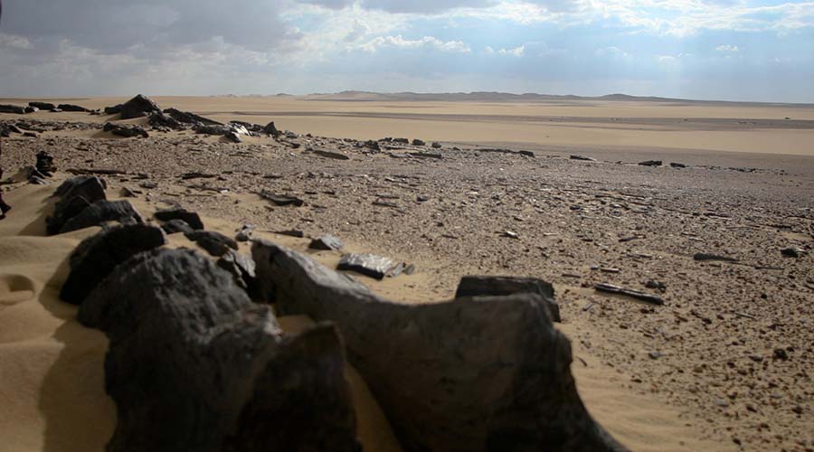
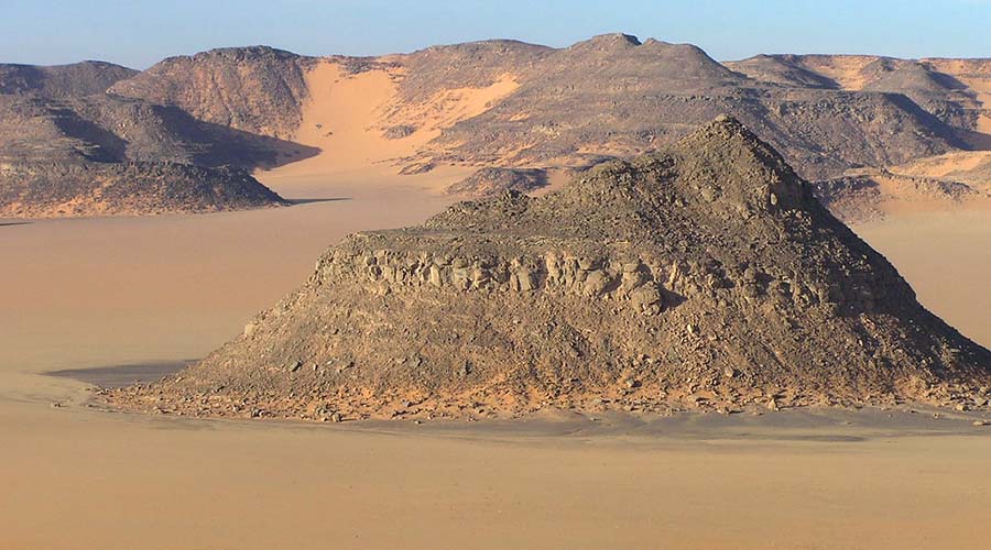
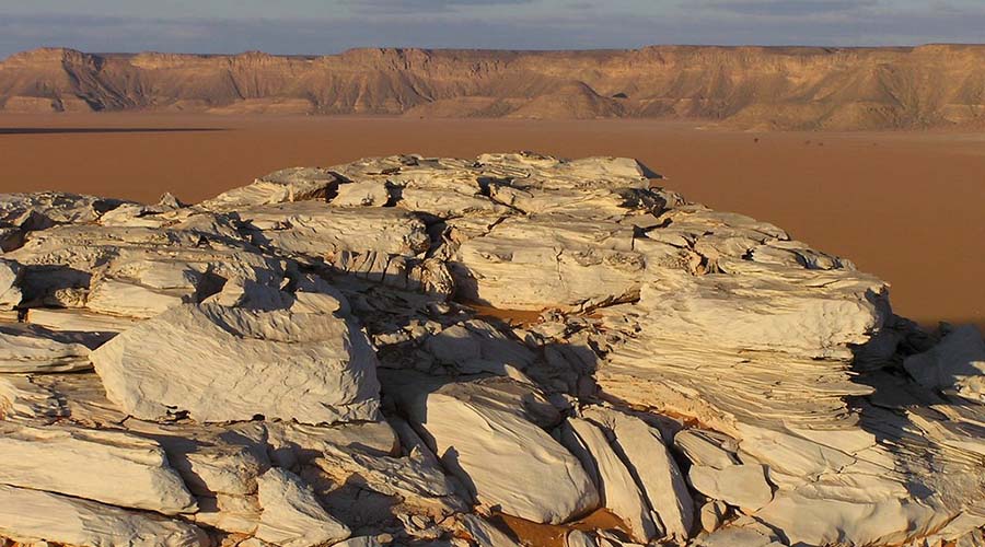
Gilf El Kebir National Park is about 7770 square kilometer. The park located in the southeast corner of Western Desert, Egypt. In fact, the park is a sandstone plateau in New Valley Governor-ate. The park features rocky surface slopes which covered by sand. It is because the Great San Sea to the north encroaches on the plateau. Moreover, the area is arid and supports wild sheep which known as the Weedan. Furthermore, the National Park also comprises small birds such as the ubiquitous White-crowned Black Wheat-ear.

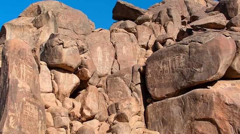
The area also features ancient rock art attests to a radically different environment in prehistoric times. In fact, it depicts many pictures of several types of big cattle. The park lies in the heart of the eastern part of the vast Sahara Desert. That is why it gets some of the most extreme climates on Earth. Moreover, it is the driest places on the planet. Furthermore, the area is totally rain-less. In fact, the annual average rainfall amount hardly reaches 0.1 mm. Additionally, the geological aridity index/dryness ratio is over 200.

Further details about Gilf El Kebir National Park:

The solar energy received at the ground evaporate 200 times the amount of precipitation received. In fact, rainfall may fall every twenty years in the National Park. The Name of the area given to the plateau by Prince Kamal El Dine Hussein in 1925. Actually, it hand no local name. Moreover, The park is famous for its rugged beauty, remoteness and geological interest. It also famous for its dramatic cliff paintings-pictographs and rock carvings-petroglyphs. In fact, they an earlier era of abundant animal life and human habitation.

Nearby attractions Information, tours and Online Booking

More of Egypt Nature Exploration

More of Egypt attractions

MORE
Elephantine Island Aswan

Elephantine Island Aswan

  • Elephantine Island Aswan
  • Elephantine Island Aswan
  • Elephantine Island Aswan
  • Elephantine Island Aswan
  • Elephantine Island Aswan
  • Elephantine Island Aswan

Elephantine Island Aswan Egypt tours, prices, booking, reviews

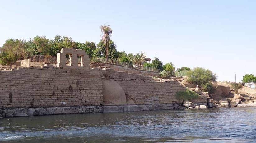
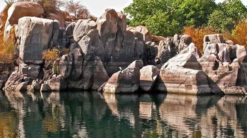
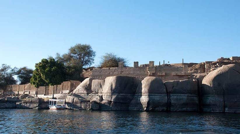
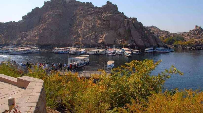
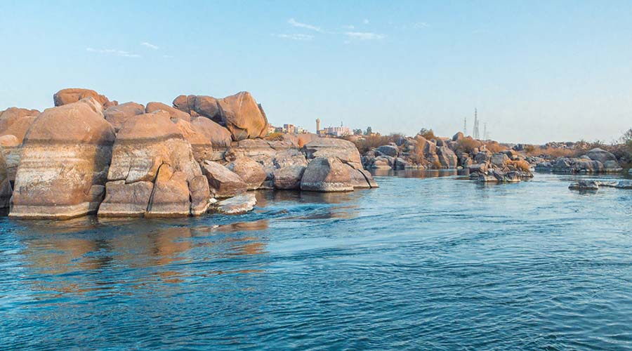
Elephantine Island Aswan is an island which located in the center of the Nile at Aswan. In fact, the island was the original “border town”. The border town was between Egypt and the Nubian lands to the south. Moreover, in ancient times it was an important strategic position. It was both for the defense of the border and as a trading route. The island inhabited from the Early Dynastic Period. It was through Roman times until the present day. In fact, the ancient name of Elephantine Island Aswan was “Apu” or “Yebu”. It means elephant and derived from the shape of the smooth gray boulders. In fact, the boulders surround the island and look like elephants in the water. There was a great deal of building activity on the island. In fact, it was over the centuries. Though most of the ancient structures vanished now.

Excavations and reconstructions carried out over the past 100 years. It was by teams of German archaeologists. The largest surviving structure today is the temple of the ram-headed creator-god Khnum. The temple located at the southern end of the Elephantine island Aswan. In fact, the temple dates back from the New Kingdom to Roman times. A granite gateway built by Alexander is the only large structure of the temple. It remains intact and the ruins behind it are difficult to identify due to ongoing excavation. At the front of the temple a restored pavement. It surrounds fragmentary remains of columns which built by Ramses II. This leads down to a Roman quay. In fact, the temple oriented east to west. There is little to seen of the interior of the Temple of Khnum. The temple has a large square granite gateway which is one of the few surviving structures.

Further details about Elephantine Island Aswan:

In fact, there were excavation seasons of Elephantine Island Aswan. It was During the past few years by the German Swiss Mission to. They investigated around the New Kingdom remains of the Temple of Khnum. They recently uncovered more of the plan of the temple. In fact, they uncovered the location of pylons, columned court and forecourt. They also uncovered as a possible festival hall of Amenhotep II. Further north, behind the museum building there is the site of a small restored Temple of Satis. In fact, she was the consort of Khnum. The temple built in the time of Hatshepsut and Thutmose III. The reconstruction done with the few reliefs supplemented by drawn elements. In fact, the temple built over Middle Kingdom remains. Moreover, it is beneath different floor levels and also a Dynasty VI temple.

The latest structure to emerge from the excavations at the temple is an Early Dynastic shrine. It seen in a crypt-like area below the reconstructed temple. In fact, it must be one of the earliest remaining Temples in Egypt. One of the most interesting structures on Elephantine Island Aswan is the Nilometer. It is just in front of the museum. In fact, it was one of the earliest known nilometers and which used by the ancient Egyptians. It used to measure the height of the Nile floods to forecast the level of inundation. As a result, they can gauge taxes for the coming harvest. It has 90 steps which lead down to the river from the entrance. Along the banks of the island, there are many boulder inscriptions. They name the kings and governors who associated with the island.

How to get to Elephantine Island Aswan:

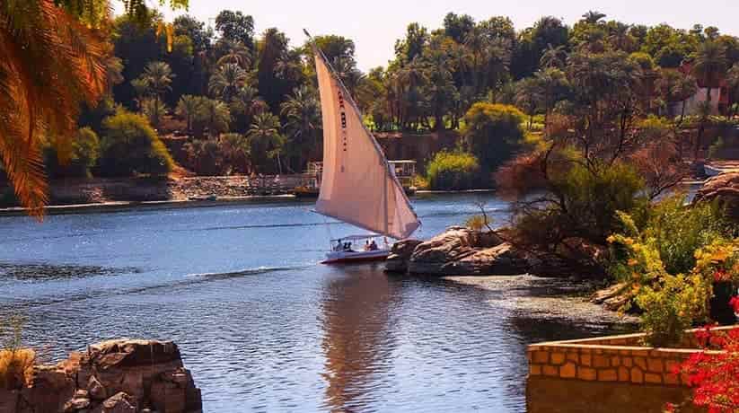
The island can reached by Felucca from anywhere along the Corniche. You can also take a motor boat from a landing near the telephone office. There is a private ferry which goes to the Oberoi Hotel but this lands inside the hotel enclosure.

Nearby attractions Information, tours and Online Booking

More of Egypt Nature Exploration

More of Egypt attractions

MORE
Gabal Elba National Park

Gabal Elba National Park

  • Gabal Elba National Park
  • Gabal Elba National Park
  • Gabal Elba National Park
  • Gabal Elba National Park
  • Gabal Elba National Park
  • Gabal Elba National Park

Gabal Elba National Park Marsa Alam, Egypt, tours, booking

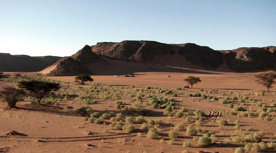
Gabal Elba National Park situated 25 kilometer south of Marsa Alam, Egypt. In fact, Gabal Elba which means Elba mount, has a peak of 1435 meter. Moreover, the main coastal road runs through it. Gabal Elba National Park requires a permission from the Egyptian authorizations to visit it. In fact, Elba National Park declared in 1985 as protected area. Moreover, it covers 35,600 square kilometers. Furthermore, the park comprises many of ecosystems. Moreover, the national park includes a vast stretch of coral reef and mangrove coastline. It also includes 22 Red Sea islands and a 20 kilometer wide stretch of desert coastal plain.

In fact, the national park contains many natural, human and cultural resources. It has wildlife, medical and economic plants. Moreover, the national park has local tribes, ancient drawings and artifacts. In fact, it is besides geological and mineral treasures. Moreover, the national park also comprise water resources such as sweet water wills. Furthermore, the national park houses many springs. In fact, within Gabal Elba National Park are sea turtles. Moreover, it also has many types of inhabitants and migrant birds. Furthermore, the park also houses many types of Mangrove trees. In fact, they are of economic and environmental value.

Further details about Gabal Elba National Park:

Elba Mount can get up to 400 mm of precipitation a year. That’s higher than the annual average for Greece. And it’s a much higher figure than the 15 mm average for the Eastern Desert region. Only a little of this precipitation comes in the form of heavy rain. Mist clouds form what called a mist oasis around Elba Mount and to a lesser extent the other summits. In fact, the humidity of these clouds approach 100 per cent. So, the tiny water droplets coalesce into large ones. As a result, the precipitation occurs in the form of a light drizzle. The plenty of moisture allows an exceptionally diverse flora to exist. Gabal Elba National Park houses some 458 species which unknown in the reserve.

Ferns, mosses and succulents are common in the mist zone at higher altitudes. Moreover, Biscutella elbensis is endemic to Elb Mount. At lower altitudes, in mountain wadis and foothills, there is dense parkland. In fact, it dominated by Acacia tortilis, Delonix elata and Aerva persica. Moreover, it also dominated by Euphorbia cuneata. Salt-marsh vegetation and mangrove swamps fringe stretch long of the coast. Gabal Elba National Park supports a rich fauna diversity. In fact, it indeed is unparalleled in comparison to the other desert environment in Egypt.

More details about Elba Mount National Park:

Furthermore, the national park comprises forty species of birds. They include Afro-tropical, Ostrich Struthio camelus and Lappet face Vulture. Moreover, the park houses about twenty three species of mammals. In fact, they include the endangered sea cow and Dugong dugon. Furthermore, the national park has about thirty species of reptiles. Yet, it has only one amphibian specie.

Nearby attractions Information, tours and Online Booking

More of Egypt Nature Exploration

More of Egypt attractions

MORE
El Hassana Dome National Park

El Hassana Dome National Park

  • El Hassana Dome National Park
  • El Hassana Dome National Park
  • El Hassana Dome National Park
  • El Hassana Dome National Park
  • El Hassana Dome National Park
  • El Hassana Dome National Park

El Hassana Dome National Park Cairo, tours, booking, prices

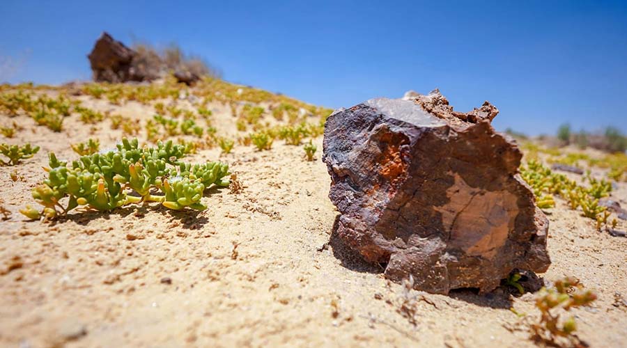
El Hassana Dome National Park is a unique geological formation in Giza, Egypt. In fact, it created 100 million years ago. The park designated a natural protectorate in 1989. It was by Prime Ministerial Decree 946/1989. In fact, the park currently threatened by encroaching urbanization and construction works. The National Park located in the area of Abu Rawash which is 8 Kilometer from Giza Pyramids. Moreover, it features geological importance and richness in fossils. It first discovered in the mid nineteenth century. In fact, El Hassana Dome name owes to its dome shaped hills. It also owes to its location at the end of El Hassana Valley.

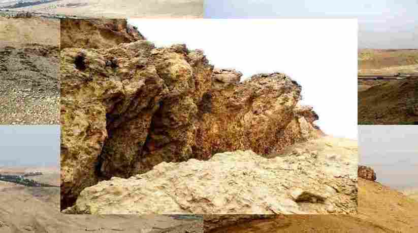
Furthermore, the dome is 149 meters high. The highest points from its eastern part raises 109 meters. In fact, the park split in two by the Cairo Alexandria Desert Highway. Its western side is rich in chalky sediment-ed hills and seashells. They are along with plant and animal fossils dating back to the Upper Cretaceous Period. Moreover, it is 135 million years old. With an area of just one square kilometer, the park is one of Egypt’s smallest. In fact, it not a well known tourist destination. Moreover, it surrounded by urbanization and the pollution that accompanies that it.

Further details about El Hassana Dome National Park Cairo:

The upscale New Giza housing project lies at its southern border. A network of pipelines currently installed along its eastern side. Moreover, quarries operate in the vicinity and commercial farms found along its southeast border. El Hassana Dome National Park does not receive many visitors. It is except those interested in geology and paleontology. They are along with students on scientific school field trips. So the protectorate is not disturbed or polluted by visitors.

The geological richness of the National Park, first discovered by Gustave Le Febrve. He was a French engineer. He commissioned by Mohamed Ali Pasha in 1839. It was to survey the area around the Pyramids of Giza. To someone who is neither a geologist nor a paleontologist, there may not be much to see here. The park looks like an ordinary plot of desert with hills. But to specialists, the park does resemble an open air prehistoric museum.

Nearby attractions Information, tours and Online Booking

More of Egypt Nature Exploration

More of Egypt attractions

MORE
Egypts Islands

Egypt Islands

  • Egypt Islands
  • Egypt Islands
  • Egypt Islands
  • Egypt Islands
  • Egypt Islands
  • Egypt Islands
  • Egypt Islands
  • Egypt Islands
  • Egypt Islands
  • Egypt Islands

Egypt Islands information, tours, prices and online booking

Egypt Islands include many islands all over Egypt which deserve to visit. Littered potsherds. Located in Abu Qir Bay, off the Alexandria coast, Nelson’s Island. In fact, it named after Horatio Nelson based on the victory he led against the French army. It was during the Battle of the Nile in 1789. Dr. Paolo Gallo, an Italian archaeologist, dated graves found on the island that date back to the momentous battle that occurred during the Napoleonic Wars. Nelson’s Island is a great getaway if you have enough time while visiting Alexandria. Probably the most beautiful place to visit in Aswan! The Elephantine Island is a truly paradisiacal spot with wonderful gardens and some truly significant artifacts.

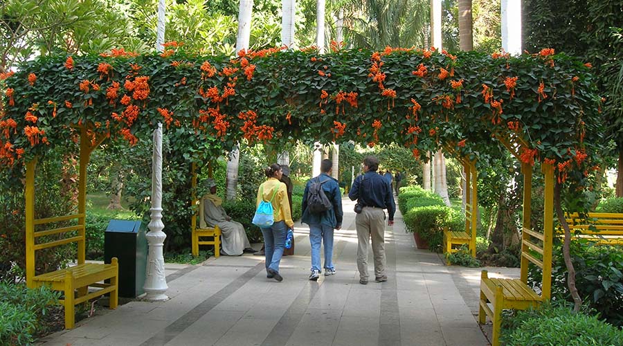
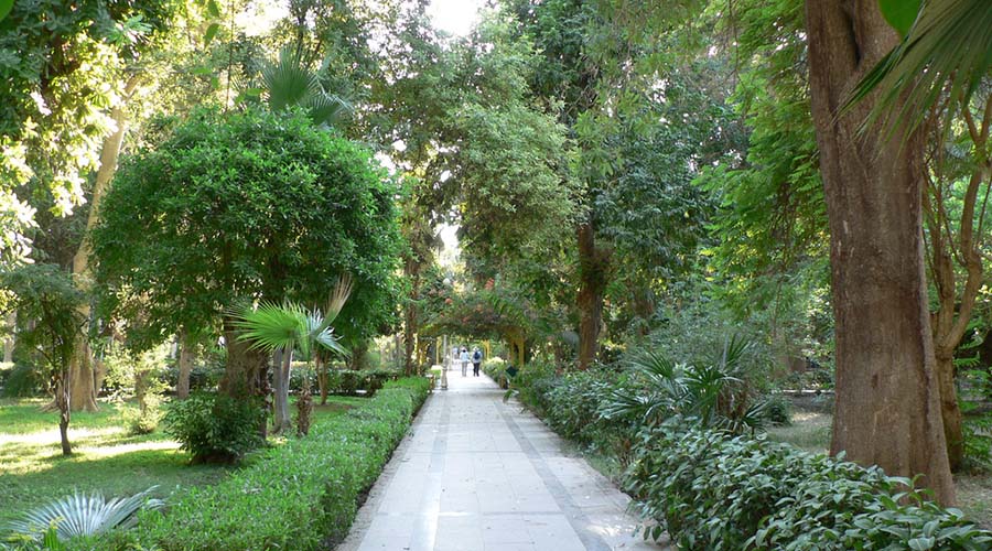
It is a great place to spend some leisure time, wandering among the colorful houses of the Nubian Villages Siou and Koti, fishing in the Nile, or having a picnic on the river banks. Kitchener’s Island was given to Lord Horacio Kitchener. He turned the entire island into a botanical garden in the 1928. The Kitchener’s Island is a peaceful paradise, full of shady trees, beautiful flowers and unusual plants. The island is a haven for rare exotic birds and you’ll surely get a glimpse of their colorful plumage in the branches of most of the trees while strolling down its sidewalks on a quiet afternoon escaping your hectic holiday.

More information about Egypt Islands:

The ancient island of Philae was a sacred center for the cult of Isis and the location of a great temple complex now known as Philae Temple . For millennia, Philae Island attracted pilgrims from all over the known world and continued to be a pagan center of worship after the arrival and spread of Christianity. On Sehel Island, the timelessness of Nubian culture is there for you to discover. Sehel Island was quarried by Ancient Egyptians for Aswan granite. The water-goddess Anuket was worshiped here. Today, you can visit traditional Nubian houses, spot crocodiles, get a Henna tattoo from a local or go camel riding. Explore St. John’s Island in Hurghada . Go bird watching for a chance to spot the Sooty Falcon soar. Go diving in for a view of the corals and a chance to get up close and personal with rays, morays, octopus or cuttlefish.
Located in Elba National Park , the pristine beaches of St. John’s Island are usually empty. Another favorite bathing spot for locals and tourists in Siwa Oasis is Fatnas Island (Fantasy Island) . Also known as “Fatnas Island (Fantasy Island) ,” the spot is located 6 km from Siwa Town on the salt lake of Birket Siwa in a beautiful surrounding of palm trees and beautiful scenery. There’s even a small café nearby from where you will be able to watch an amazing sunset while having tea or a cold drink.

Egypt Islands Highlights


Elephantine Island Aswan
+View details
Egypt Nile cruises and hotels
Kitchener’s Island Aswan
+View details
Egypt Nile cruises and hotels
Load more

MORE
Egypt National Parks

Egypt National Parks

  • Egypt National Parks
  • Egypt National Parks
  • Egypt National Parks
  • Egypt National Parks
  • Egypt National Parks
  • Egypt National Parks
  • Egypt National Parks
  • Egypt National Parks

Egypt National Parks tours, booking, prices, reviews

Egypt National Parks in fact are widespread in many cities of Egypt. Actually, Egypt has a unique geographical location. It situated at the northeast of the African content and joined with Asia content. Furthermore, Egypt bordered by the Mediterranean Sea to the North and the Red Sea to the East. Egypt National Parks and the rich natural heritage are a result of the above mentioned. Moreover, Egypt National Parks found in Cairo, Fayoum, Aswan, Gilf El Kebir and Marsa Alam. They also found in Sharm El Sheikh which located south of Sinai.

Egypt National Parks include Al Hassana Dome National Park. In fact, the park is a unique geological formation in Giza, near to the pyramids. The park created 100 million years ago and designated as a natural protectorate in 1989. It was by Prime Ministerial Decree 946/1989. In fact, the park currently threatened by encroaching urbanization and construction works. Moreover, it features geological importance and richness in fossils. It first discovered in the mid nineteenth century. Egypt National Parks also comprises Maadi Petrified forest. The forest located 30 kilometer away from Cairo. In fact, it situated outside Maadi district in and declared as a protectorate in 1989.

Further details about Egypt National Parks:

Moreover, the national park is about 35 million years old at least. It indeed is an ideal example of the physical history of the planet. Furthermore, the national park area is about six square kilometers. It covered with the remains of trees from the early era. They brought here due to the floods on the red Sea hills. This period called Oligocene. It is where the temperature of earth saw a large amount of drop and floods occurred. The drop in temperature led to the creation of an atmosphere. Egypt National Parks also comprises Gilf El Kebir National Park. The national park is about 7770 square kilometer.

Moreover, the park located in the southeast corner of Western Desert, Egypt. In fact, the park is a sandstone plateau in New Valley Governor-ate. Furthermore, it comprises small birds such as the ubiquitous White-crowned Black Wheat-ear. Egypt National Parks also embraces Lake Qarun which located in the northwest of the Fayoum Oasis. In fact, the lake is 80 km (50 mile) southwest of Cairo. The lake’s surface is 43 m (140 feet ) below sea level. Furthermore, it covers about 202 square kilometers (78 sq mile). The lake was freshwater in prehistory, but is today a saltwater lake. In fact, the lake is a source for tilapia and other fish from the local area. The lake area is between 1,270 km² (490 mi²) and 1,700 km² (656 mi²).

More details:

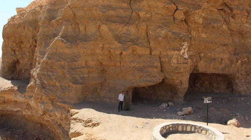
Egypt National Parks also include Sannur cave in Beni Suef which is about 200 kilometer from Cairo. In fact, the cave is a classic karst cave which created by groundwater percolating. In fact, it was through the Eocene limestone of the Galala Plateau. The cave indeed is the best example of this type of caves in Egypt. In fact, the water percolates downwards. Moreover, the excess calcium carbonates deposited on the roof and floor of the cave. They form spectacular stalactites and stalagmites of various forms. When a light shines on them, they glitter like a wonderland.

Egypt National Parks also include Ras Muhammad National Park. The national park is about 20 km from Sharm, and 446 km from Cairo. In fact, the national park first declared protected area in Egypt in 1983. The park lies at the southern-most tip of the Sinai Peninsula. Moreover, it overlooks a panoramic view of the Gulfs of Suez and Aqaba. Furthermore, the park features a diversity of shoreline configurations and coral reef ecosystems. In fact, the national park features mountains, valleys, gravel plains and sand dunes. In addition, more than 1,500 marine creatures found there.. It indeed is the most famous snorkeling and diving site all over Egypt.

Further details:

Egypt National Parks also comprises Wadi Degla or Degla Valley. In fact, is one of the important valleys which extend from east to west. The valley also located in Maadi area in Cairo and its length is 30 km. Moreover, it passes through the limestone rocks that remained in the marine environment. It was during the Eocene Epoch in the eastern desert ( 60 million years ). The national park is rich with fossils. In fact, the height of these rocks alongside the valley is around 50 m. Moreover, the national park has a group of mammals animals like dear, ta-ital and mountain rabbits. It also has red fox, feather tailed rat, oviparous, barbed rat, little tailed bat and others.

Egypt National Park also comprise Wadi El Gemal or the Valley of camels. In fact, the national park located 55 kilometer south of Marsa Alam, Egypt. The national park has about 450 species of coral and over 1,200 species of fish. In fact, it creates a living paradise for divers and snorkelers. Moreover, the National park has more than 140 plant species. In fact, many of these plants have medicinal values. The park has also Mangroves tress which are vital and productive ecosystems. In fact, the trees are among the world’s most endangered habitats.

More details about Egypt National Parks:

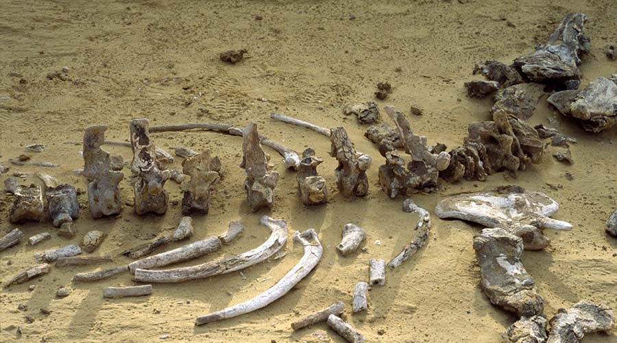
Egypt National Park also include one of the most famous national parks in the world. It is Wadi El Hitan or Whales Valley. In fact, the Whales Valley It is about 150 km southwest of Cairo. Moreover, the national park designated a UNESCO World Heritage Site in July 2005. The valley has hundreds of fossils of some of the earliest forms of whale. The site reveals evidence for the explanation of one of the greatest mysteries. In fact, it is about the whales evolution. The emergence of the whale as an ocean-going mammal from a previous life as a land-based animal. Furthermore, the national park house a huge number of fossils. In fact, they are accessible and sit in an attractive and protected landscape.

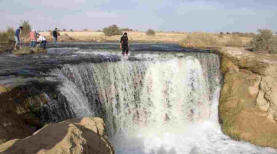
Egypt National Park also comprises Wadi El Rayan. In fact, the national park is a large depression in the desert of Fayoum, Egypt. Moreover, the national park located about 140 kilometer south of Cairo, Egypt. Indeed, it is a great hydro-logical project in the middle of the desert. The water now flows into this dry basin which is 43 meters below sea level. It forms two large lakes. In fact, there were suppose to be three lakes, but one of them dried up. The reason behind this project was that the Fayoum had a drainage problem. All drainage taken by one of the two main drainage channels to Qarun’s Lake in the north

Egypt National Parks sites:

Cairo National Parks
+View details
Egypt Nile cruises and hotels
Dababiya National Park
+View details
Egypt Nile cruises and hotels
Gabal Elba National Park
+View details
Egypt Nile cruises and hotels
Gilf El Kebir National Park
+View details
Egypt Nile cruises and hotels
Maadi Petrified Forest Cairo
+View details
Egypt Nile cruises and hotels
Load more

MORE
error: Copyright © www.etltravel.com !