Gabal El Uweinat and Karkur Talh tours, prices, booking
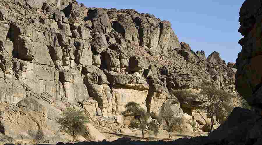
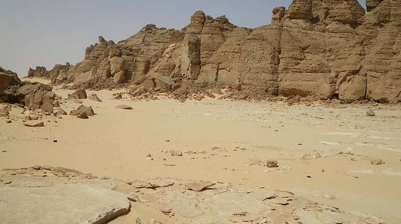
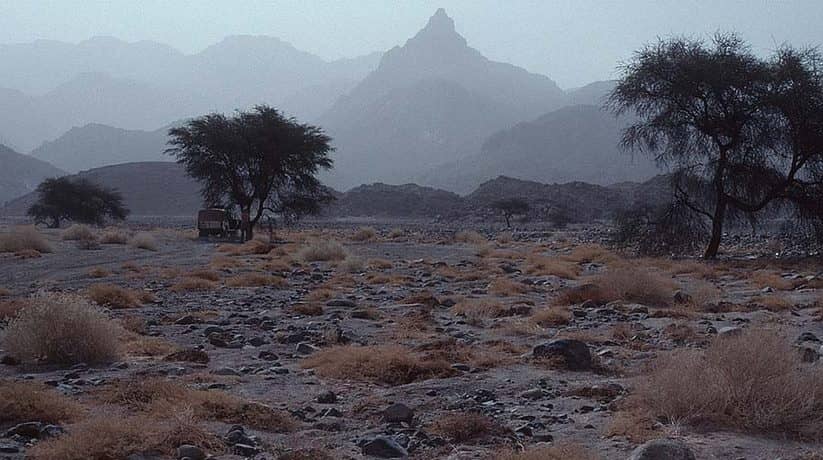
Gabal El Uweinat (El Uweinat mountain) is the most formidable mountain in Western Desert. In fact, Karkur Talh is the largest valley of the mountain. It’s mouth, marked by two acacias visible for many kilometers. Gabal El Uweinat situated in the flat and featureless Libyan Desert. Moreover, it situated roughly at the center of the arid-est area. In fact, the mountain stands out like an island from the surrounding plain. The mountain’s height is enough to capture a little precipitation. The precipitation is from the summer monsoon clouds of the Sahel belt. In fact, the belt reaches this far north. In fact, the rains here are infrequent.
Furthermore, the last one recorded in September 1998. Probably as much as 10-15 years may pass without rain. However, even this little rain is enough for some vegetation and wildlife. In fact, Gabal El Uweinat composed of two different parts. The western part lies entirely in Libya. It composed on a large granite ring complex which about 25 km in diameter. Furthermore it also composed of the eroded remnants of a large archaic granite dome. The interior is less resistant to erosion, so large basin occupies the center of the ring. In fact, it is with three large valleys, Karkur Hamid, Karkur Idriss and Karkur Ibrahim. They drain the interior towards the west and all support scarce vegetation.
Further details about Gabal El Uweinat Karkur Talh:
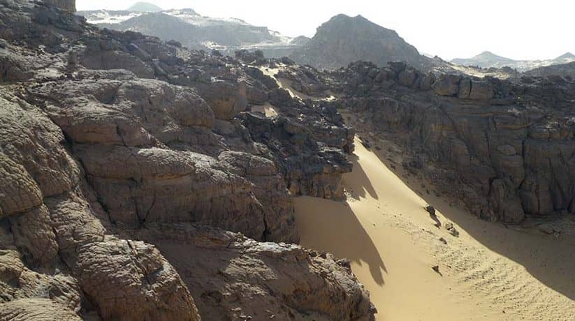
As granite erodes, it forms huge boulders, that stacked upon each other. In fact, it is like an emptied bag of potatoes. Moreover, the southern half is less eroded and it has a large crescent shaped plateau. It fills the interior of the ring and much dissected by shallow water courses. This plateau acts as a large reservoir after rains. In fact, two permanent springs, Ain Ghazal and Ain Doua found at the southern foot of the mountain. Since the base of the mountain is well above the permanent aquifer. So, the source of the water can only be rain. However they never went dry in living memory.
The eastern part consists of a large block of Paleozoic sandstone. The sandstone slab forms a large elevated plateau. In fact, it dissected into several large units. Karkur Talh is the largest valley of Gabal El Uweinat. It’s mouth opens onto the broad sand plain flanking the mountain on the north east side. In fact, the narrow mouth choked with sand dunes. Karkur Talh winds for some 25 km towards the base of the sandstone plateau. In fact, it forms the highest part of Gabal El Uweinat. Except for a few kilometers in the beginning, most of karkur Talh lies within Sudan.
More details about Gabal El Uweinat Karkur Talh:
If you proceed inwards, the spaced vegetation become more frequent. It is with a dense acacia forest and continuous tufts of panic-um grass. Moreover, it features colocynths which covers the valley floor in the broad middle section. In fact, climbing Gabal El Uweinat is not an easy option. It takes about 16 hours for both ascent and descent. Moreover, you’ll need plenty of fuel and water to reach and enjoy this part of the desert. If your guide doesn’t summit, then you might want to take more time.
In fact, Karkur Talh valley, named after the acacia trees which still grow here. Moreover, the valley is the home to vast quantities of rock art- both drawings and engravings. Furthermore, the valley is definitely worth a visit. Though not as amazing as those of El Mestikawy Cave they extend over a much wider area. Guides will know the locations of the best rock art examples. Actually, you may, in the side Wadis (Valleys), even find some new examples of your own.


